

Powering Discoveries
Faith Singer
Related Articles
Dashboards for Disasters
Establishing a roadmap to make Texas safer, more secure for the future
In 2017, Hurricane Harvey made landfall in Texas and Louisiana, causing catastrophic flooding and more than 100 deaths. Harvey ranks as the second most costly hurricane to hit the U.S. mainland since 1900, resulting in $125 billion in damage. An estimated 13 million people were affected and nearly 135,000 homes damaged or destroyed in the historic flooding.
During the hurricane, the Texas A&M University Galveston campus was tasked with doing the data analysis for the storm. Sam Brody, the director of the Institute for a Disaster Resilient Texas (IDRT), had been hoping to create an intelligent decision support system since he arrived at A&M almost 20 years ago.
These ideas started to germinate with help from some of the state’s leading agencies and climate and disaster response experts: Tyler Payne with the Texas General Land Office (GLO), Gordon Wells with UT Austin’s Center for Space Research (CSR), and Russell Blessing with the newly-formed Texas A&M Institute for a Disaster Resilient Texas (IDRT).
“We took this vision and crystallized it point by point,” Brody says. “It took our collective minds, each person coming from different perspectives to sketch out the scope for what we’re working on today.”
This groundbreaking project is called the Texas Disaster Information System, or TDIS — a new information management system for data and models with the potential to change the way the state responds to disasters.
The interactive, web-based portal will sync the state’s natural hazard data — from floods to fires to hurricanes to hail — so that decision makers both with and without a scientific background can use it to create and access maps and visualizations to help with everything from infrastructure investment planning to emergency evacuations.
IDRT is leading the charge, in collaboration with UT Austin and Texas A&M, to create the new system, which will be powered by TACC supercomputers.
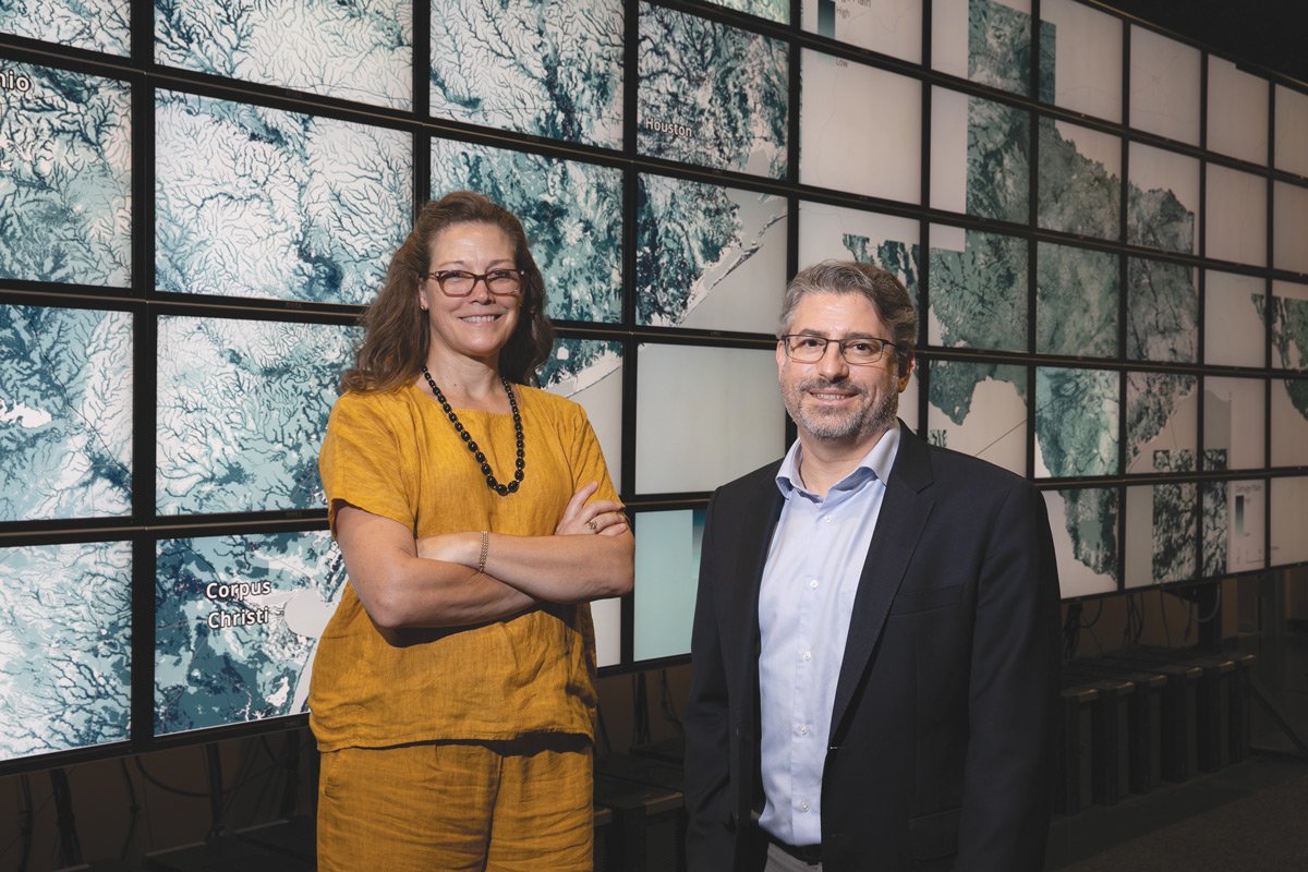
“We’re bringing the strengths of both institutions together to create a more effective whole,” says Suzanne Pierce, the TACC research scientist behind the technology infrastructure. “Texas A&M understands the problems we are facing with disasters and the solutions that are needed, and TACC has the technological expertise to find those solutions faster. It’s a once in a lifetime opportunity for all of us.”
The General Land Office, an agency in Texas that helps communities recover from disasters, committed the initial $10 million over a period of five years to design and implement the new system. An additional $30 million is designated to support continued innovation and operational services for TDIS through 2032.
The project will rely upon TACC’s advanced computing services and facilities to support rapid compute needs during events, to house large datasets for use across agencies, and to provide AI-enabled services that will streamline data analysis.
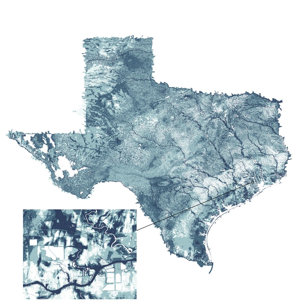
Pierce’s technology infrastructure team has already launched its first project — a statewide damage plain map developed by IDRT researchers that uses 42 years of flood loss data provided by insurance companies to show areas at greatest flood risk. The map will help homebuyers decide where to purchase property and assist city governments in deciding where to invest resources to protect against flooding.
“The damage plain provides a detailed map of vulnerability to flooding across the state,” Pierce says. “It was produced using machine learning approaches and hybrid compute resources. The map is a data cornerstone product that can be combined with other information to support community decisions and aid analyses for planning and mitigation.”
While the initial funding for TDIS stemmed from the devastating effects of Hurricane Harvey, the outcome of that destructive event is creating an important shift in the strategy by encouraging agencies to work together and share data so they can better confront hazardous events in the future.
“Hurricane Harvey was a huge wakeup call for Texas, and the potential for another catastrophic disaster is great,” Pierce concluded. “It’s important for our safety and our economy that we do our best to provide the tools and information decision-makers need to better respond to these events. Today’s advances in computing capabilities makes that easier than ever, which is really a signal of hope for our state.”
Much of the infrastructure that will support TDIS has been built over the last several years as part of the UT Austin research grand challenge Planet Texas 2050, which brings together scholars across disciplines to address the dual problems of growth and climate change in Texas. It has been instrumental in laying the groundwork for the TDIS data portal.
Learn more: bridgingbarriers.utexas.edu/planet-texas-2050